 Birdstrike
 JerusalemSKY 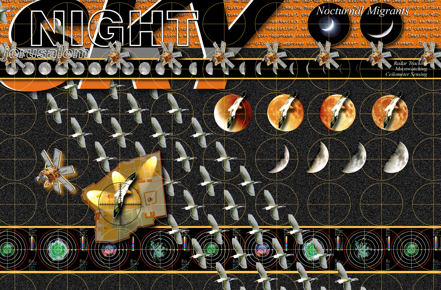 NightSKY 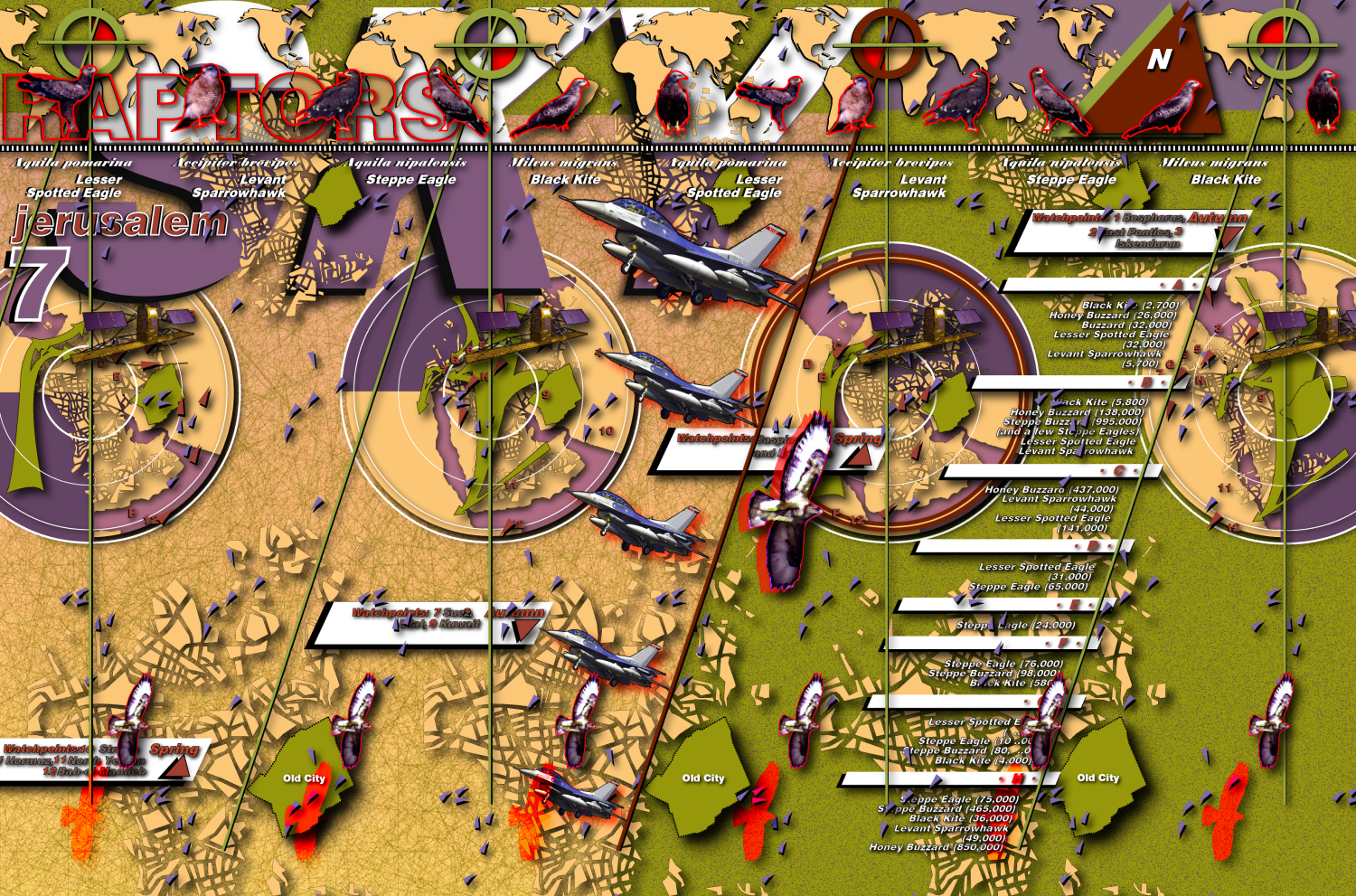 Flyways 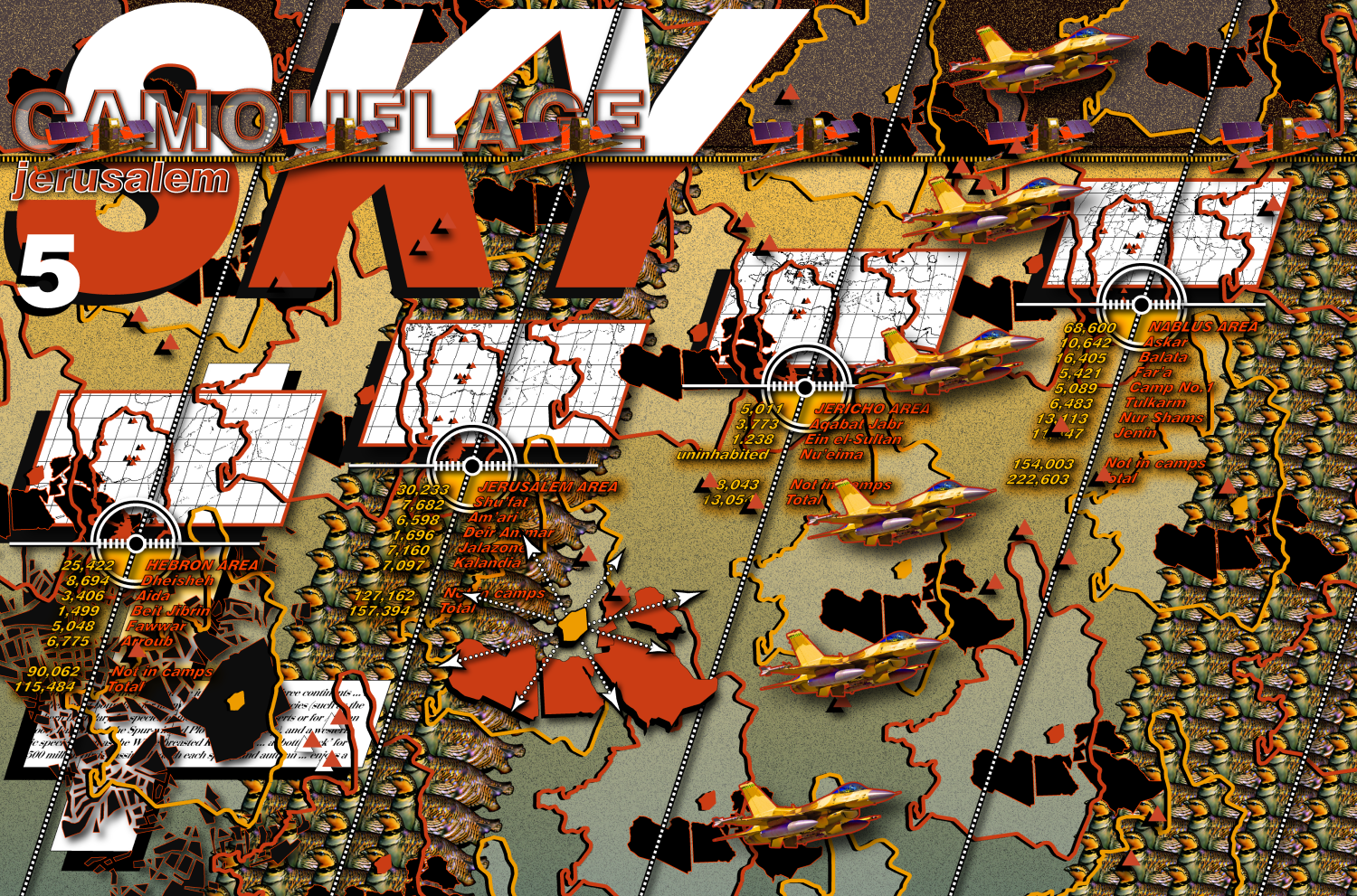 Camouflage  Rooftops 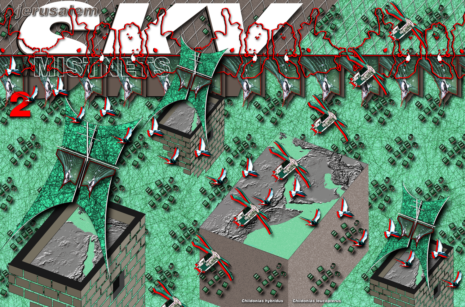 Mistnets |
Copyright © 2001, 2002 Deborah Natsios and John Young Deborah Natsios and John
Young. "Jerusalem SKY." in 
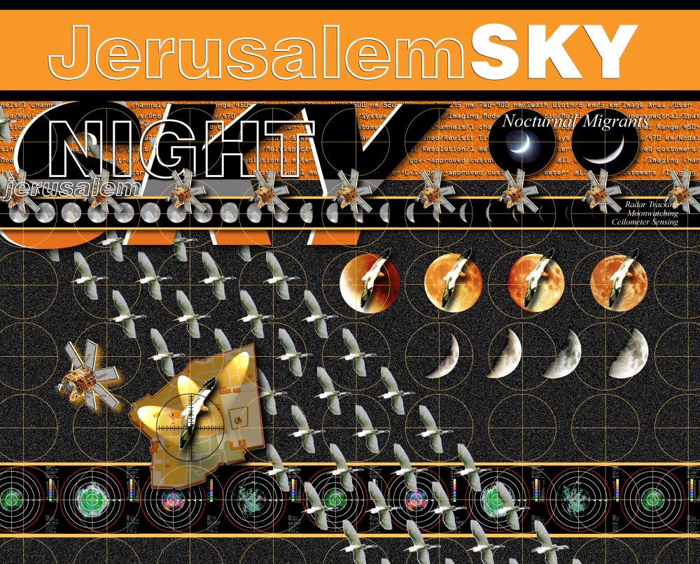
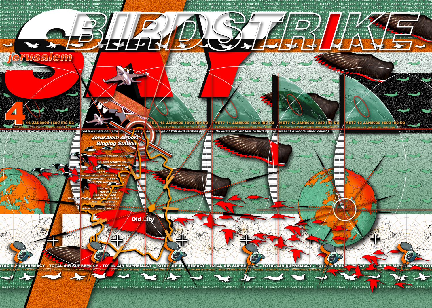
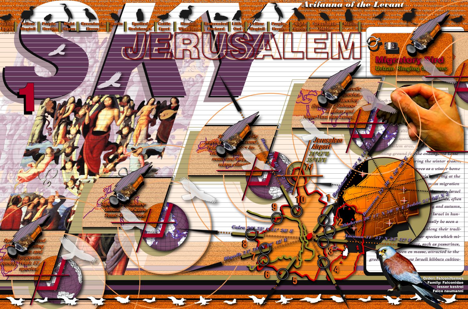
Bird's-eye-view perspectives of Jerusalem construct the city along the pilgrim's spiritual horizon, a vertical axis whose vanishing points converge into sanctified sky -- the allegorical airspace of Jesus' and Muhammad's respective ascensions. The ancestral soffit absorbs the city's ecstasy and agitation, a vanishing sky-dome camouflaged by atmospheric boundaries that evaporate and recondense by the hour, product of capricious windspeeds and turbulence that whip layers of cumulus, altostratus, and cirrus into impermanent cosmology and fleeting projections of earthly desire. Such is the point of view, for instance, of the Lucas Brandis map of Palestine (Lubeck, 1475), as the cartographer -- circumscribed by depictions of the blowing winds -- overflies the holy city seen far below, embedded in undulating, verdant topography. Jerusalem's migratory birds are pilgrims of the upper sanctuary. They soar on thermal currents high above escarpments of the rift valley, plying transcontinental flyways that link northerly breeding sites with southerly wintering grounds. Aerodynamic itineraries have bridged the land-masses of Europe, Asia and Africa for countless millennia, confirming Jerusalem's ecological centricity within a triadic balance of continental powers, a balance which coincides, as it happens, with the emblematic claims of Heinrich Buenting's trefoil of 1581, or the tripartite structure of such T-O mappaemundi as the Augsburg of 1472 -- the medieval schema that represented the world as a disc with Jerusalem at its center, separated from Asia, Africa, Europe by waterways configured in a "T". Each spring and autumn, a half-billion migrant birds navigate the skies above Jerusalem by their own ancient compasses, tracking magnetic fields, star rotation, and the Sun, escaping terrestrial confinement just as in the Bible and Qur'an, where birds are associated with transcendent themes of purification, absolution, and sacrifice. The man-made city remains inexorably linked to the avian nomads that populate its canopy, notwithstanding the transcendent altitudes of their empyrean habitat. When diasporic birds like the sparrow, eagle, santa colomba, and quail descend to roost or feed on flat roofs below, they leave faint vapor trails that link their skyborne infrastructures to the stone city's upturned ribs and bones. All across Jerusalem, rooftop refuges receive vagile birds intertwined in vaporous rays of first light, sundown, and penumbra. In the past half-century, new surveillance and imaging technologies have superseded birds-eye views of the city, at the very same time that avian migrants suffer the increasing violence of birdstrikes -- catastrophic collisions between species -- white pelicans, griffon vultures, black kites -- and the mechanized high-tech birds that are recent colonists of both low and high altitude migration routes. Aviation casualties resulting from birdstrikes have far exceeded those of modern military campaigns. The unforgiving physics of high velocity impacts amplifies the body mass of projectile birds, converting supple wingbeats into a destructive force measured in tons, forging a debris alloy of crushed beaks, scapular feathers and aluminum shards. Violence is a meticulously engineered byproduct of airborne visualization technologies that support the ongoing surveillance of the city. Reconnaissance aircraft, unmanned drones, profiling radars and surveillance satellites corroborate military doctrines of command, control and communication with new remote sensing and imaging products, culling data from systematic regional coverages to plot a totalizing, expropriating transparency: the scientific cartography of an asymmetric balance of power and the policing of the man-made city's disputed borders. Infra-red radar channels offer night visibility; panchromatic systems cue colors of the visible spectrum; and ultraviolet spectrometers, microwave radiometers, hyper-spectral instruments and image-enhancement techniques provide diagnostic tools for imagery analysts versed in the phenomenology of observables, who will identify the exploitable contours of contested urban topography. Migrant birds populate a secular sky reinvented by meteorology and climatology through military hardwares and softwares that encode real-time data -- millibar and isobar in thrall to national security priorities that supplant prophecy with "forecasts" and vision with "visibility," eschewing the airborne pilgrim's progress. This is the sky of contemporary battlespace and triumphalist war games, where artificial intelligence intercedes with simulation scenarios and new algorithms for dies irae under the rubric of "total air supremacy." Strict regulatory mechanisms limiting the dissemination of high-resolution satellite imagery emerged in the 1960s, a regime of restrictions that underscored geospatial imaging's military role in maintaining crucial information dominance through reconnaissance, intelligence gathering, strategic planning, and precision targeting. Jerusalem's public record, its civic mirror, was rendered opaque as contemporary aerial views were suppressed by redactions and inscrutable encryptions -- imagery intelligence (IMINT) degraded by international covenant, shutter controls, blackouts, data quality reduction, and time-delayed transmissions. Since the 1990s, global market forces and democratizing principles called for new information transparency through "open skies" policies, "open source" acquisitions, and "dual-use" applications. These initiatives introduce beneficial civilian applications for technologies originating in national security contexts. High-resolution satellite imagery -- real-time digital data with resolutions of less than one meter -- is being declassified. Commercial "birds" are being granted licenses making their imagery increasingly available on the open market, with potential benefits to environmental studies, agriculture, urban planning, seismic monitoring, storm and flood control research, natural disaster mitigation and large-scale humanitarian relief efforts. Jerusalem SKY is a web-based project being developed by Natsios Young Architects that supports migratory bird conservation efforts by extending the transparency of "open skies" initiatives to the project's own information architecture. The digital image-maps presented below are proposed new birds-eye views of Jerusalem -- in the form of graphical user interfaces that are orientation maps for SKY's open architecture. The synthetic image-maps are hypermedia portals accessible to the growing online public worldwide -- the student, amateur, refugee, scientist, detainee or citizen with access to the world wide web. Icons embedded within SKY's digital image-map narratives are hyperlinked to allow connective access to myriad online knowledge systems relating to bird migration, geospatial imaging, and conflict resolution -- including databases, metadata, multimedia presentations of sound video, and image. SKY's hypermedial transparency expands the narrow scope of formalist visualizations of the city -- those photogenic consumer products of the tourism and nostalgia industries. SKY views probe the more complex imagery spectrum captured by multilayered sensor technologies and information systems, including those scanning beyond the range of the human eye -- the multispectral, hyperspectral and ultraspectral. Most important, the SKY project will function as an 'augmented reality' system by directly linking its web-base architecture to actual sites in the built city -- specifically, Jerusalem's expansive landscape of flat rooftops. It is proposed that the city's flat roofs be adapted as seasonal bird ringing (banding) stations, equipped with mistnets, calipers, scales and other instruments of the banding process, in which birds are tagged using small leg-bands -- part of a data-collection technique crucial to the study of migratory movements, routes, behaviors and survival. Jerusalem's network of rooftop landscape fragments will be transformed into a working laboratory as well as seasonal urban staging post, where birds pause to feed and roost before continuing intercontinental journeys. The rooftop system is to be manned by a diversity of building residents and community volunteers throughout mixed quarters of the city, who will use wireless cellphones to uplink survey data to shared online databases. The urban model of scattered rooftop collection sites parallels the world wide web's distributed connectivity. It encourages a more broadly inclusive network for participatory data sampling than is currently available at the Jerusalem Bird Observatory ringing facility, narrowly sited on one acre of parkland in an exclusive, politically-compromised zone located between Israel's Knesset and its Supreme Court. Jerusalem SKY's new birds-eye views of the city have emerged out of regional conflict-resolution initiatives precipitated by birdstrike hazards. Catastrophic birdstrikes -- symptom of unresolved spatial conflict between militarized airspace and transboundary avian flyways -- are being mitigated through innovative remediation that relies in part on national security technologies. Today, migration conservationists are tracking and mapping their mobile subjects using what was once the exclusive paraphernalia of war -- real-time surveillance radar warning systems, satellites, unmanned military drones, motorized gliders, and satellite intercept radio-transmitters. The appropriation for civilian use of technologies developed in the context of geopolitical surveillance and political control has compelling implications. Those are explored through SKY's key links to Cryptome.org and Cartome.org, Natsios Young's online archive of documents relating to the apparatuses of surveillance and political control -- including hardwares and softwares that enable encryption, steganography and geolocation -- their uses, their exploitable vulnerabilities, their implications for civil liberties and the space of a new public domain. In appropriating dual-use technologies for migratory bird conservation practices, Jerusalem SKY subordinates pernicious surveillance to the knowledge-based act of seeing Jerusalem anew. Viewed from an aerial habitat constructed out of the recurring rhythms of transboundary migration flows, the specular city mirrors back the knowledge of emancipated pilgrims. Deborah Natsios |
|
| ©
2002-2026 Deborah Natsios CRYPTOME |
||